Gis & Cartography
Mapping is fundamental to documenting the historic environment.
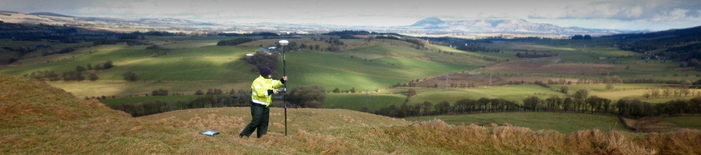
AOC have long experience in managing and analysing spatial data on the historic environment, and operate mobile-GIS mapping systems in conjunction with high-accuracy GPS to ensure that our field data is as reliable as possible.

Our geomatics team are experienced in GIS-based analyses, and have carried out numerous research projects on spatial data management for the historic environment for local authorities and government agencies. Our environmental impact assessments are based on industry-standard GIS formats, ensuring maximum efficiency of data handling and scope for design revisions.
Web-based mapping can also be a powerful and effective way of presenting information on the historic environment, and a useful tool in the production of educational resources. Our geomatics and digital development team can help you present your heritage mapping in a clear and effective way.

