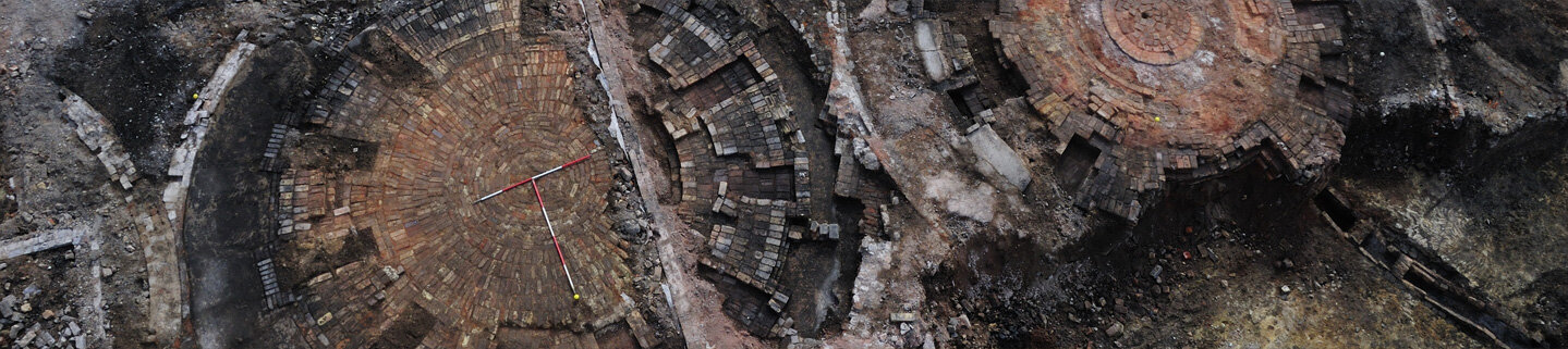
3D Laser Scanning & Aerial LiDAR

Sometimes, to create the best record of an object, monument, building or landscape, a photograph isn't enough.
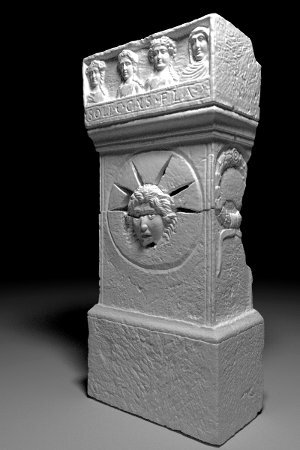
Laser scanning allows detailed and accurate 3-dimensional models to be made, meaning that our heritage is digitised and documented as fully as possible. Laser scanned point clouds can provide valuable metric data, giving cross sections through buildings, or accurate terrain models of slight topographic features. 3D data can be processed into highly accurate CAD models for visualisation, or used to extract detailed 2D elevations and plans.
Fully georeferenced 3D data integrates with CAD and GIS applications, meaning the products of laser scanning surveys work alongside traditional mapping or survey data, providing a rich and detailed record. Scanned models are valuable tools for documentation and analysis, but also provide a unique way to present archaeology to the public, through websites and interactive digital applications.
AOC has been a market leader in 3D technologies for heritage for over a decade. Our experienced staff have scanned hundreds of objects, buildings, monuments and landscapes, and have developed analysis and visualisation procedures tailored to a wide range of applications. We are experienced in processing and analysing aerial LiDAR data for archaeology, and have carried out landscape-scale LiDAR surveys in several regions across the UK.

