Dun Deardail Hillfort: the Third and Final Season

Our final season of excavations as part of the Dun Deardail Hillfort Project was completed in August 2017. This sees the completion of the archaeological fieldwork of this three-year project delivered as part of Nevis Landscape Partnership, with the support of Forestry Commission Scotland.
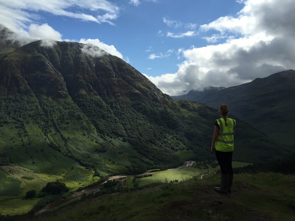
Work at Dun Deardail was designed to find out more about the enigmatic vitrified fort, located in a prominent position overlooking Glen Nevis. Previously we have focused on understanding the wall construction, and later destruction, looking for evidence of a possible entranceway and activity on a flat terrace within the enclosure. We have fantastic evidence for the vitrification of the wall in situ, as well as timber voids caused by the presence of timber lacing within the wall during the burning and destruction event. We also opened some trenches on the lower terraces, due to the find of a crucible fragment during footpath works, however these did not reveal any significant archaeological remains.
In 2017 we focused on two key areas of the enclosed hillfort space: an area with multiple hearth features, which we began to investigate previously, and possible linear features running across the enclosure, identified topographically. These linears had yet to be investigated and could represent a form of boundary or definition of space within the hillfort.
Trench 1 excavated in the upper ‘citadel’ area of the hillfort exposed a series of stone built hearths set on an extensive area of paving that pre-dated the vitrification of the hillfort. This hearth and paving may have been at the centre of a probable turf or timber building, however evidence for any structural elements of this lay outwith the trench save for a couple of scoops and postholes.
Trench 5 investigated the break between the upper ‘citadel’ and the lower internal terraces of the hillfort. In this trench evidence for the multi-phase occupation of the hillfort was recovered. The pre-vitrification structures comprised a wall which separated the two areas of the hillfort which while not vitrified, was heavily affected by the intense heat of the fire reducing it to small pieces of shattered stone. Downslope from this was another linear feature comprising a layer of rounded boulders overlying a layer of rounded cobbles. Overlying these features were a series of burning and collapse deposits relating to the vitrification. Above these vitrification deposits there was evidence for the re-occupation of the hillfort. The main wall dividing the two areas of the hillfort appeared to be re-built, within this was an occupation deposit and a slight wall.
In addition to the excavations, we also undertook some further environmental archaeology work to understand the wider environs of the hillfort. The charcoal evidence collected through coring can be used to reconstruct past fire events which may have happened within and around the hillfort. By analysing the count and area of the charcoal grains statistically we may hopefully be able to identify specific fire events, their magnitude and frequency, from the charcoal record.
Post-excavation analysis and reporting is now being undertaken to understand this site further. School children from Lochaber and Ardnamurchan have recently enjoyed designing their own hillforts in their classrooms, and we have been working with Arnamurchan High School about the transferable skills we use in our careers as archaeologists.
The project was undertaken with the kind permission of the landowner, Forestry Commission Scotland, to whom thanks are due, especially FCS archaeologist Matt Ritchie. AOC Archaeology Group would also like to thank all of the volunteers who made the excavation such a success.
Nevis Landscape Partnership is supported by the National Lottery through the Heritage Lottery Fund. You can find out more about NLP on their website.